Rwenzori Mountains National Park: A Complete Guide
Rwenzori Mountains National Park: A complete guide. Mount Rwenzori National Park is known as one of the selected destinations to visit while on a wildlife safari in East Africa. Uganda offers numerous tourist attractions and safari activities to marvel at hence there is a lot to witness starting from the beautiful features. And also with the fact that there are over 10 national parks in Uganda and also reserves. In this guide, we explore what makes Rwenzori National Park a must-visit destination, its key attractions, safari activities, accommodation options, access routes. Also, the worst and best time to visit Rwenzori national park, so know more about the park and its beauty with details below.
History and Location of the Rwenzori Mountains National Park
History of Mountain Rwenzori, Uganda
One of the famous national parks to visit while in the country is the great Rwenzori mountains National Park. Mountain Rwenzori was established in 1991 and it covers over 1000 square kilometres. Rwenzori mountains National Park in Uganda are popularly known in East Africa as “the mountains of the moon”. Locally, the Rwenzori mountains are known as “Ruwenzori” meaning ‘rainmaker’ or ‘cloud king.’ Ruwenzori was after they were christened by the Alexandrine geographer Ptolemy in AD 150. The mount Rwenzori National park was declared a UNESCO World Heritage Site in 1994 due to its rich biodiversity and outstanding natural beauty.
Location of the Rwenzori Mountains in Uganda
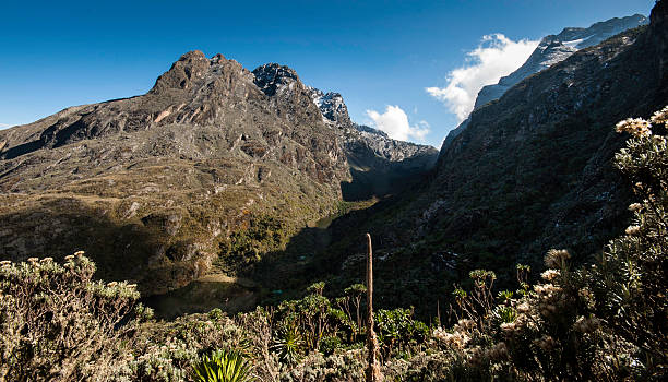
Rwenzori national park is situated in western Uganda. The Rwenzori Mountains ranges are a range of six block massifs bordering Uganda and the Democratic Republic of Congo. These mountain Rwenzori ranges are separated by deep narrow valleys some of which are blanketed in moorland, bamboo and lowland growing vegetation.
While on your Uganda safari tour adventures, have a Rwenzori trekking adventure to the destination and get to appreciate the beauty of the park.
Mountains and Peaks of Rwenzori
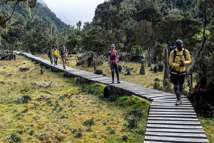
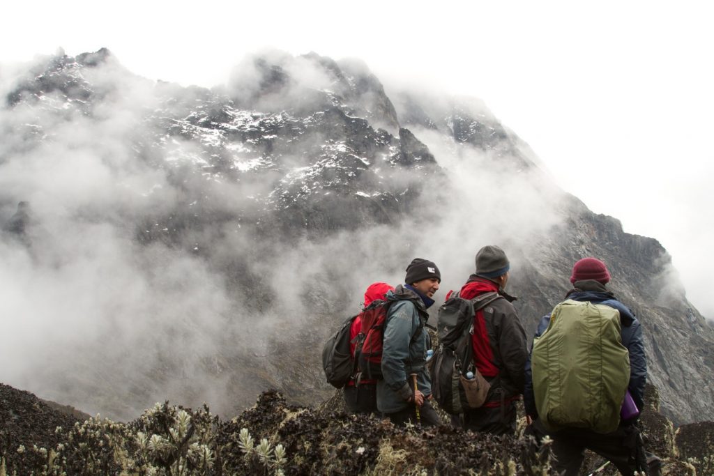
The mount Rwenzori peaks are known to be the main tourist attractions of within the park. Mount Rwenzori is known for its challenging hikes and treks to the top of its peaks. So, here are the peaks of Rwenzori mountains that visitors can choose to trek as they get to witness the beauty of the mountain as well with the best Rwenzori trekking services.
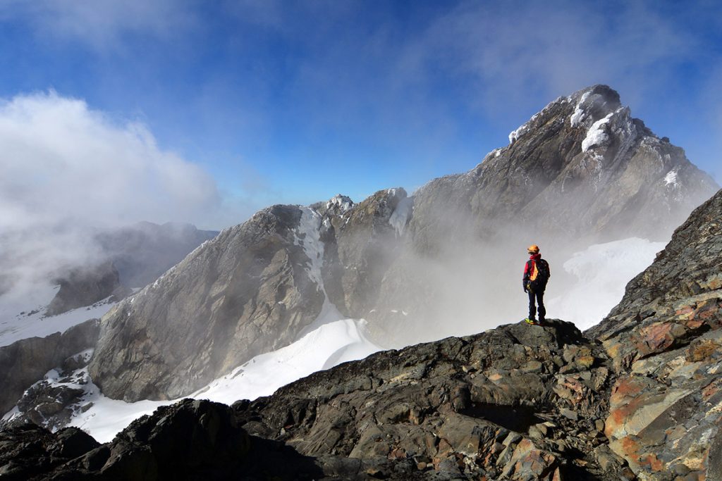
- Mount Stanley (5,109 m / 16,763 ft): Among these is Mount Stanley with the highest peak Margherita standing at 5,109 meters high. This has various peaks which include Alexandra (5091m), Albert (5087m), Elena (4968m). Others are Great Tooth (4953m), Savoia (4977m), Elizabeth (4929m), Philip (4919m), Kitasamba (4862m) and Ngabubuya (4862m). The Margherita Peak which features is the tallest summit, and offers a challenging but rewarding Rwenzori trek. This Margherita peak was first climbed in 1906 and was named after Queen Margherita of Italy. It is known to be the third highest mountain point in Africa after Mount Kilimanjaro and Mount Kenya.
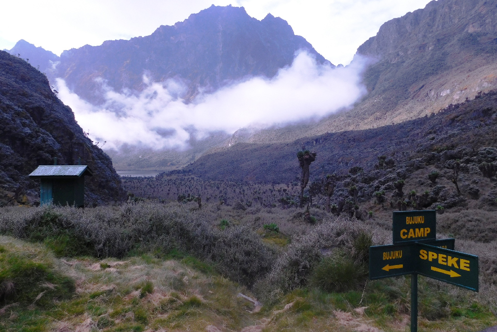
- Mount Speke (4,890 m / 16,043 ft): Mount Speke is the second highest peak of Rwenzori after Stanley with an elevation of 4,890meters known for its snowy ridges and steep trails. The peaks of Rwenzori’s mount Speke include Vittorio Emanuele (4890m), Ensonga (4865m) and Johnston (4834m). Once on a Rwenzori mountains trekking expedition to this destination, there is a lot to witness and be thrilled at, regardless of whichever hiking route one may have taken.
- Albert peak (5,018m): This is ranked as the third highest peak of mount Rwenzori National Park after Margherita. Hence, getting to explore this Albert peak makes it even more thrilling to witness as you get to venture destination.
Other Mountains and Peaks of Rwenzori
- Mount Baker (4,844 m / 15,889 ft): Known for rugged terrain and dramatic landscapes, Mount Baker is locally called Mountain Kiyanja by the Bakonjo who leave on the foothills of the ranges. Mount Baker of the Rwenzori mountains National Park has a height of 4,844meters. It’s peaks include Edward (4843m), Semper (4795m), Grauer rock (4484m), Moore (4624m) and Wollaston (4627m), which are great summit for Rwenzori hiking tours. Mount Baker which is locally called Mountain Kiyanja by the Bakonjo who leave on the foothills of the ranges, with a height of 4,844 meters.
- Mount Emin (4,798 m / 15,741 ft): Less frequently climbed, perfect for those seeking solitude and untouched scenery, with peaks; Umberto (4798m) and Kraeplin (4791m).
- Gessi Mountain with its highest peak at Iolanda (4715m) and Bottego (4699m). Mount Gessi is at an altitude of 4,578meters
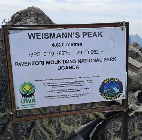
- Mount Luigi di Savoia (4,627 m / 15,187 ft): A remote and lesser-known peak of mount Rwenzori National Park ideal for seasoned mountaineers has three main peaks; Sella (4626m), Weismann (4620m) and Stairs (4545m). Mount Luigi di Savoia generally stands at a height of 4,627 m meters
The Top 4 Tourist Attractions in Rwenzori Mountains National Park
Mountain Rwenzori in Uganda is filled with numerous tourist attractions, sightseers are assured of witness. Here are some of the top 4 numerous attractions and things to see in Rwenzori mountains which makes it a great destination to visit while on a Uganda safari tour.
1. Rwenzori Mountain Range
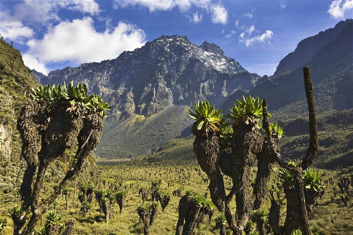
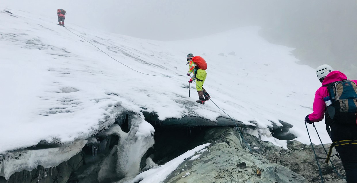
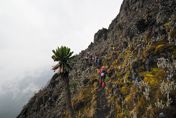
This is a star attraction of the Rwenzori Mountains, a rugged volcanic mountain range with five major peaks, including Mount Stanley, which is the highest peak in the range at 5,109 meters (16,763 feet). The Rwenzori mountain range is famous for its glaciated summits, alpine meadows, and misty forests. The diverse vegetation zones from tropical rainforest at the base to alpine desert at the mount Rwenzori peaks offer visitors stunning scenery. Also, a chance to experience a variety of ecosystems in one place during your Rwenzori tour.
2. Mount Stanley
Mount Stanley is the highest peak in Rwenzori and the third-highest in Africa so its among the top things to see in Rwenzori. Climbers who reach the Rwenzori summit experience breathtaking panoramic views and unique glacial formations. The mountain has multiple summits, including Margherita Peak, which is the highest point. The Rwenzori climb is challenging and suitable for experienced mountaineers.
3. Flora and Fauna
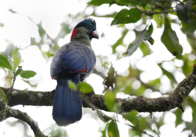
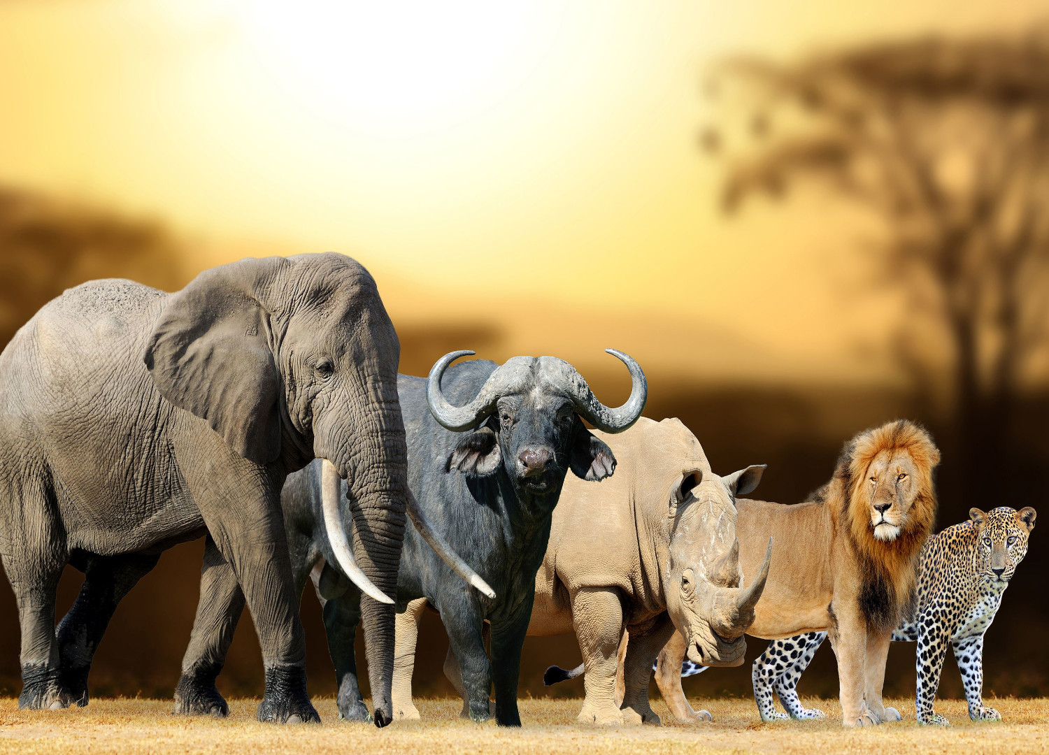
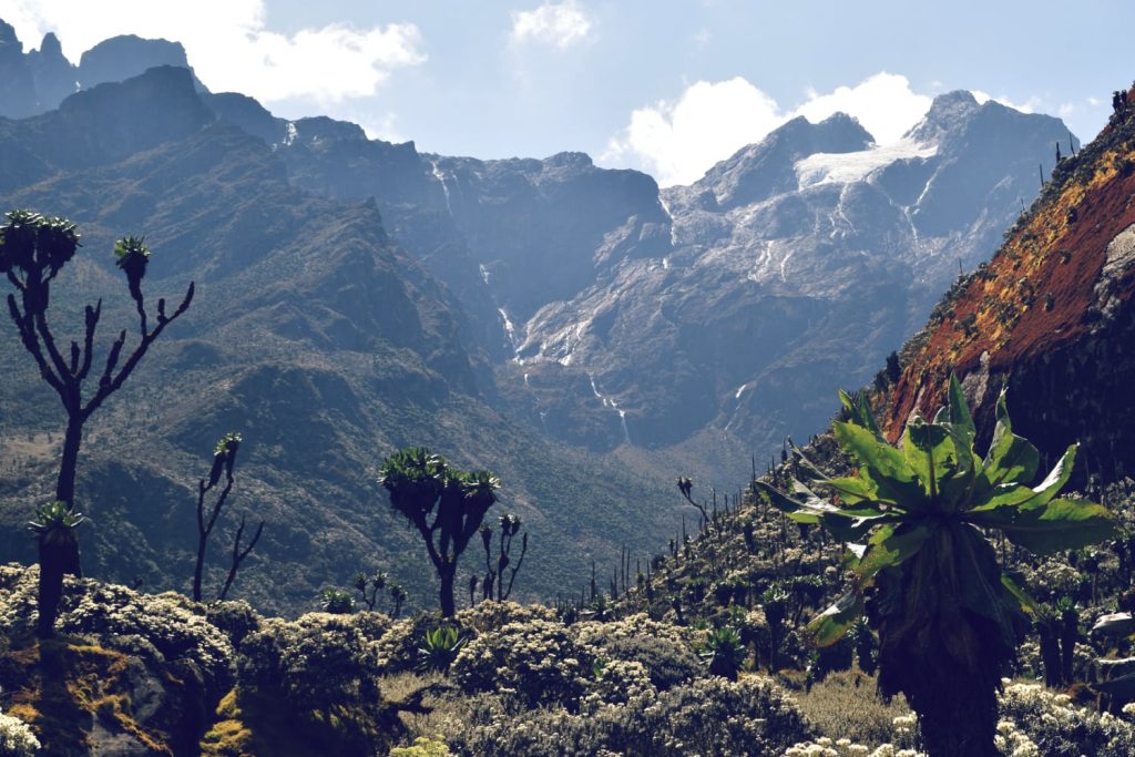
Rwenzori Mountains National Park is home to various vegetation which range from tropical forests to alpine moorlands, featuring giant lobelias, groundsels, and rare orchids. And also the national park is home to numerous wildlife which include forest elephants, chimpanzees, buffaloes, duikers. Also with many Rwenzori birding species such as the African green broadbill and the Rwenzori turaco, a bird endemic to the area.
4. Waterfalls and Rivers in the Rwenzori mountains
Mount Rwenzori is home to stunning waterfalls, including the Nyamwamba and Mubuku Falls. Numerous rivers and streams. Additionally, these flow through the park, creating serene and scenic spots ideal for photography and relaxation.
Safari Activities and Things to do in Rwenzori Mountains National Park
While at mountain Rwenzori, expect to be thrilled by numerous safari activities and things to do within the Uganda national park. Additionally, it is a splendid experience as you are marvelled by the various activities and here are some of the safari experiences to engage in during your Rwenzori tours.
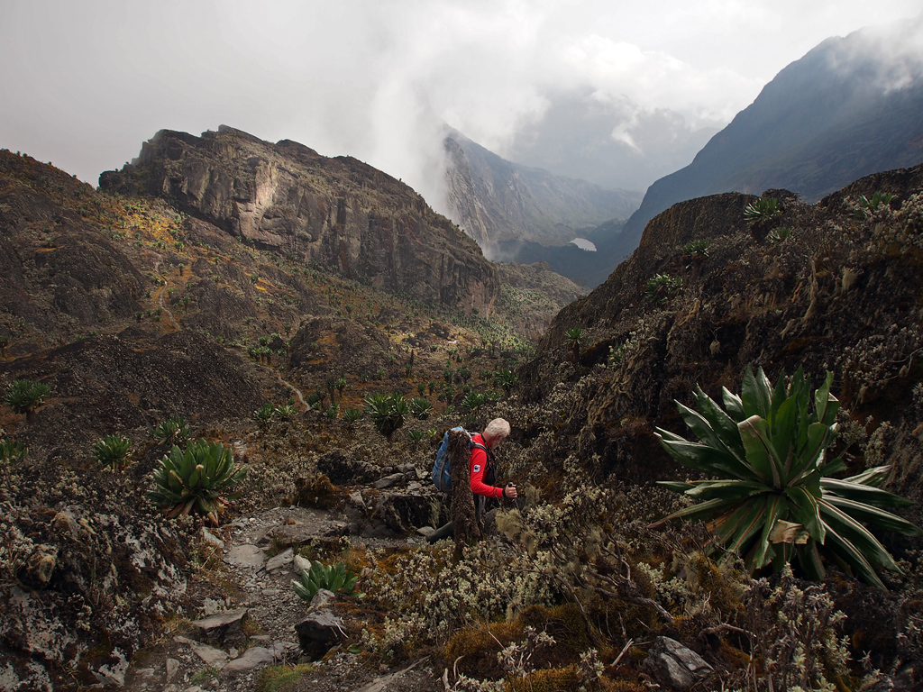
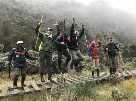
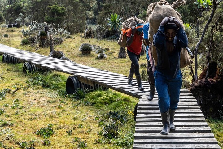
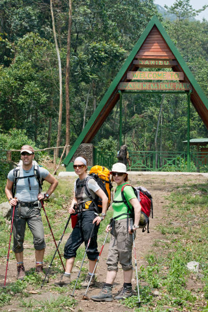
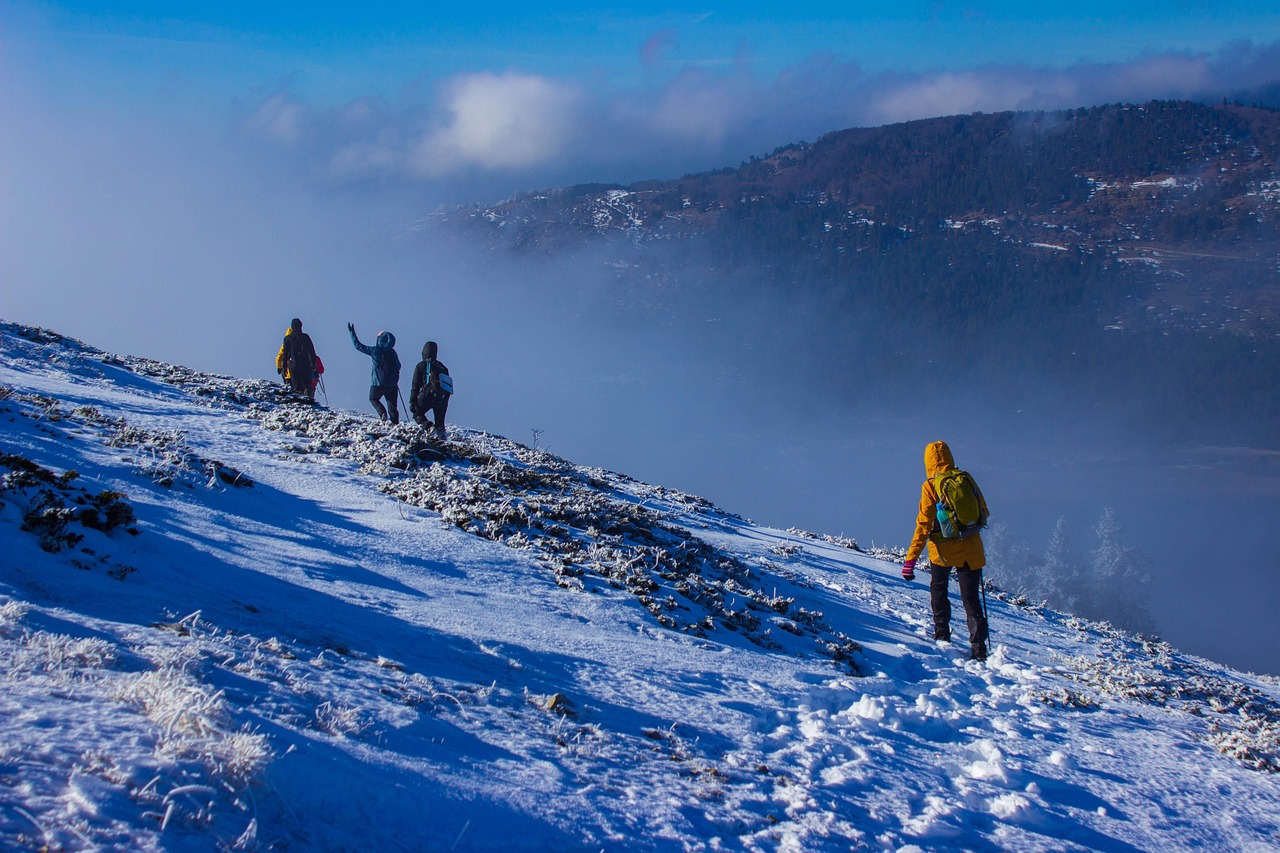
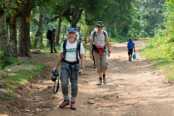
- Rwenzori mountains Trekking and climbing: This is the most popular activity, with various Rwenzori trekking routes leading through forests, bamboo zones, alpine meadows, and glaciers. Climbers often take 6-8 days to summit Mount Stanley via the famous Central Circuit Trail.
- Bird Watching tours in the Rwenzori: Mountain Rwenzori is known to be home to over 217 bird species recorded. Also, including several endemics so, Rwenzori is a birdwatcher’s paradise in Uganda. Hence, all those that are thrilled by bird watching safaris get to witness some of these birds within mountain Rwenzori.
- Nature Walks in Mount Rwenzori: Visitors can as well engage in guided walks through the montane and bamboo forests allow close encounters with flora and fauna. Hence, getting to understand the beauty within the park.
- Photography: Rwenzori’s landscapes and biodiversity offers endless photographic opportunities to all those who are interested in shoots thereby getting to capture classic views of the park.
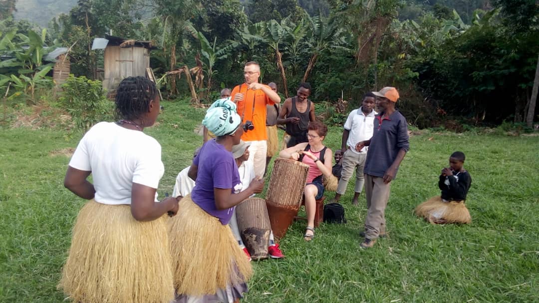
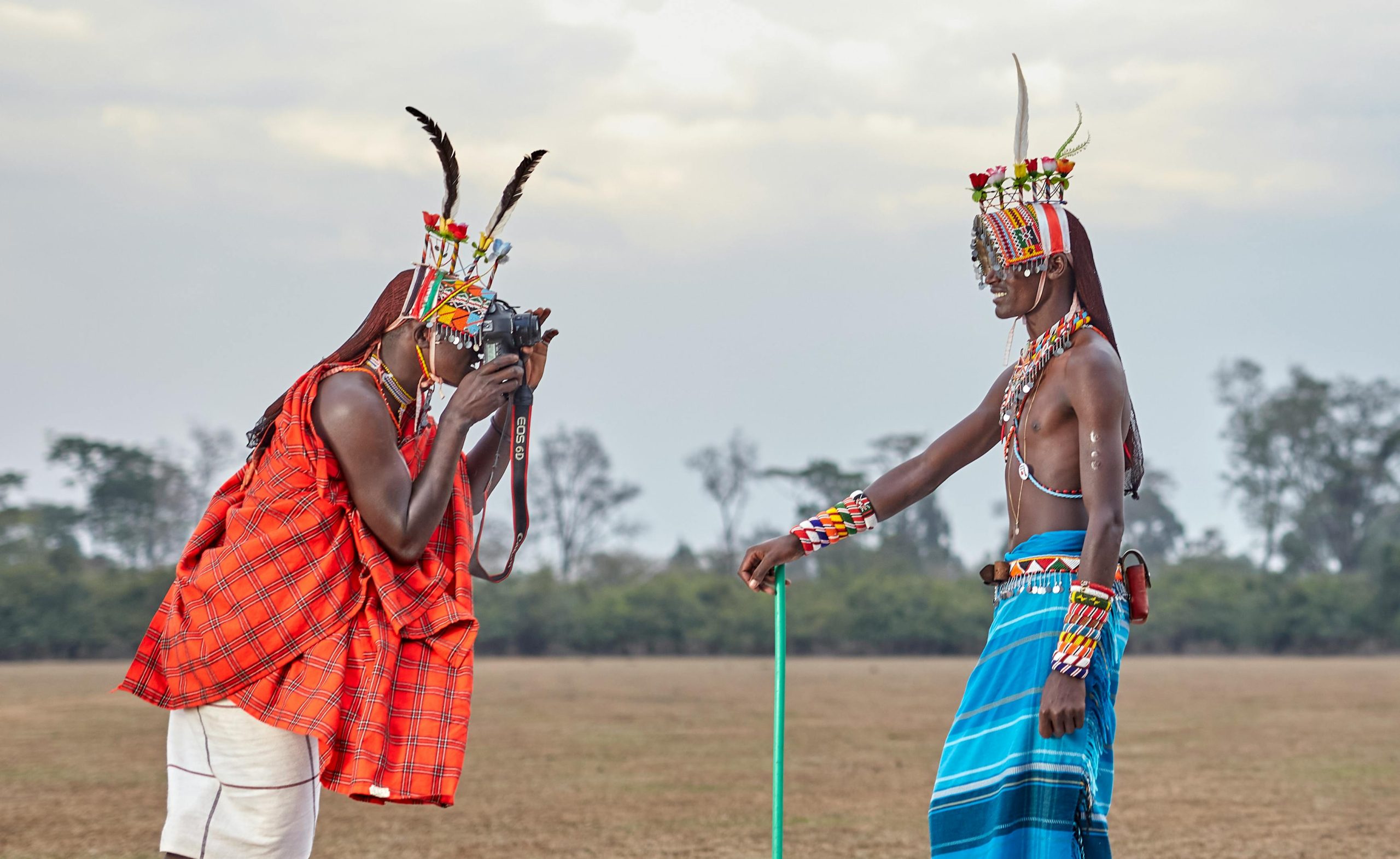
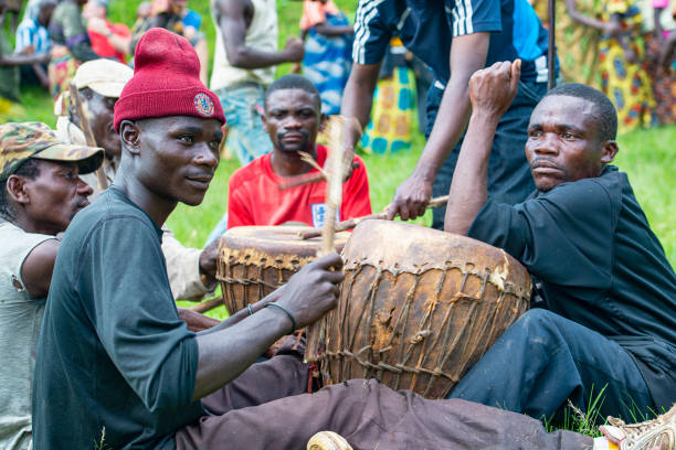
- Cultural Experiences: Visitors can engage with the Bakonzo people, the indigenous community living around the mountain. Tourists have opportunities to learn about their traditional way of life, farming practices, folklore, and cultural dances.
Gates of Mount Rwenzori National Park
Rwenzori is a famous destination to visit for all kinds of safari experiences. This mount Rwenzori national park can be entered into from three major entrances. Here are the major entrances to the mind blowing mount Rwenzori national park. Also, these are located different directions of the park and they are as below;
- Nyakalengija Gate: This is known to be the main gate for most Rwenzori trekking tours, located near Kasese town.
- Mubuku Gate: This gate is mostly used for accessing the southern parts of the mount Rwenzori National Park.
- Nyabitaba Gate: It is well located in the base camp entry point for Rwenzori climbers.
How to Get to Rwenzori Mountains National Park
There are two major ways to get to mountain Rwenzori in Uganda as we shall see. Rwenzori Mountains National Park ranges can be accessible in Uganda and through the neighbouring country Democratic Republic of Congo.
Get to Rwenzori By Road
- Considering Uganda, specific routes connect to the destination in relation to where you are coming from. Two routes connect from Kampala, the capital city, to either Kasese or Fort Portal. The longest one being taken from Kampala via Masaka-Mbarara-Bushenyi-Kasese (about 427km). The shortest route is from Kampala-Mityana-Mubende-Fort Portal (about 315km). It takes about 5-6 hours. These routes are suitable for travellers who prefer using road transport and for a more adventurous experience.
- From Kampala, you can take a bus or hire a private vehicle to Kasese (approximately 7-8 hours drive).
- From Kasese, 4×4 vehicles in Uganda or taxis are available to the park gates.
- Roads to the Rwenzori mountains in Uganda can be rough especially during rainy seasons, so a sturdy 4×4 vehicle is recommended.
Get to Rwenzori By Air
- The nearest airport to Rwenzori is Kasese Airport, which has limited domestic flights from Entebbe International Airport.
- From Kasese, you are transferred to mount Rwenzori national park by road. There is a morning and an afternoon flight from Entebbe International Airport to Kasese airfield which provides a scenic view through the varying landscape.
Best and Worst Time to Visit Rwenzori Mountains National Park
You need to be fully informed about the best and worst time to visit Rwenzori. When you are aware of the time for your Rwenzori mountains trekking tour, it will help you to have a better planning of your Rwenzori national park experience and here is what to note;
Best Time for mountain Rwenzori trekking
- June to September: This is during the season with more stable weather, clearer mountain views, and easier trekking conditions hence the best time to visit Rwenzori.
- December to February: Another dry spell offering good trekking conditions. So December to February are part of the best months to climb Rwenzori in Uganda.
- March to May: The long rainy season with heavy rains, slippery trails, and increased risk of landslides.
- October and November: Short rainy season with unpredictable weather and trail difficulties.
WHY SHOULD ONE VISIT MOUNT RWENZORI NATIONAL PARK FOR THE BEST RWENZORI TREKKING SERVICES
- Snow-Capped Peaks: These Rwenzori mountains boast snow-capped peaks, creating a stunning contrast against the lush jungle below. Imagine trekking through this unique landscape of mount Rwenzori with our best Rwenzori trekking services!
- Biodiversity: The Rwenzori Mountains National Park park is home to rare wildlife species
- Glacial Valleys and Waterfalls: Explore glacial valleys, cascading waterfalls, and fast-flowing rivers of the Rwenzori Mountains National Park. This is yet another kind of trekking experience that tourists visit Uganda for.
- Highest Point in Uganda: The Rwenzori Mountains house Uganda’s highest point known as the Margherita Peak (5,109 meters) on Mount Stanley.
Contact us for any inquiries about our Rwenzori Trekking services and here is a mountain Rwenzori hiking guide well crafted by the best Rwenzori Trekking Experts to make your Rwenzori hiking adventure in Uganda a memorable one.
Rwenzori trekking itineraries
Rwenzori Guide
- Rwenzori trekking guide
- When to visit Rwenzori
- How to get to Rwenzori
- Luxury Rwenzori Accommodations
- Budget Rwenzori Accommodations
- Attractions in Rwenzori
Kilimanjaro climbing tours, Tanzania
Kilimanjaro Guide
- Kilimanjaro climbing guide
- Luxury Kilimanjaro Hotels
- Cheap Kilimanjaro accommodations
- Gameparks near Kilimanjaro
Useful links + other African safari packages
- Rwenzori trekking services
- Kilimanjaro Climbing guide
- 3 day gorilla trekking self drive to Bwindi
- Rwenzori trekking guide
- 3 day Queen Elizabeth self drive from Kampala
- self drive Uganda
- Car rentals 4×4 East Africa
- Masai Mara Great Migration
- Serengeti Wildebeest Migration
- Big 5 safari Uganda
- Best time to visit Rwenzori
- what to pack for your trek
- Rwenzori vs Kilimanjaro

